SnowJapanHistory スノージャパン ヒストリー
A look back at ski areas from Japan’s past 過去の日本のスキー場を懐かしむ
Seaburiyama
Aizu Wakamatsu City, Fukushima Prefecture
背炙山スキー場 福島県会津若松市
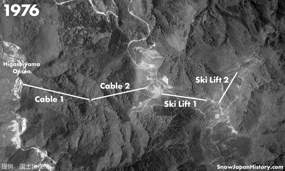
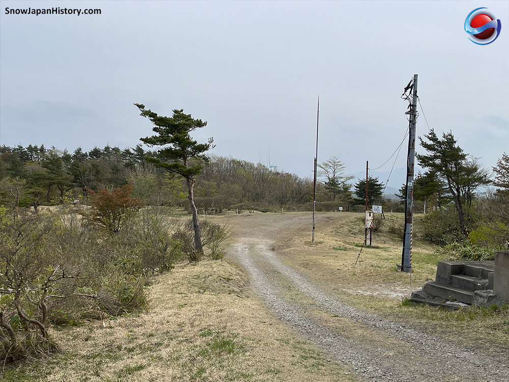
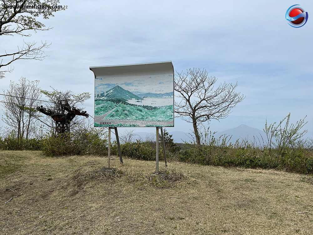
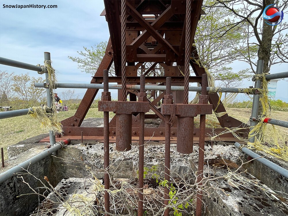
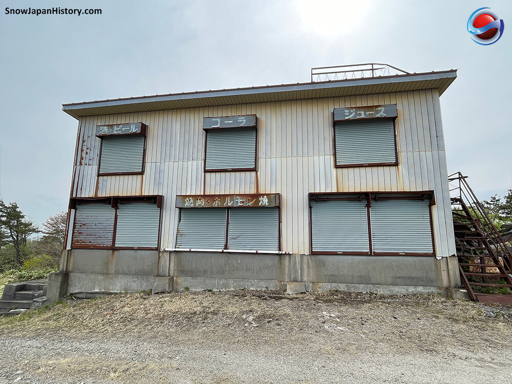
This ski area was officially known as Seaburiyama Ski Area 背炙山スキー場 but was also sometimes known as Higashiyama Onsen Ski Area 東山温泉スキー場. Skiers got to the slopes using the Seabiruyama Ropeway (cable car) from the Higashiyama Onsen hot spring town area, about 6km to the south east of central Aizu Wakamatsu City. Fine views of Mount Bandai and Lake Inawashiro could be enjoyed from the top. The facilities all closed in 1985 but the second ski lift remains in places as a reminder of the old ski area.
Historic Aerial Photograph
Information on photographs and images used on this page can be found here
| Opened 開設 |
Early 1960s | |
| Closed 閉設 |
1985 | |
| Base elevation 標高最低 |
About 770m
(lowest point of ski area) About 340m (Higashiyama Onsen base) |
|
| Top elevation 標高最高 |
About 860m | |
| Vertical 標高差 |
About 90m (ski area) | |
| Steepest slope 最大斜度 |
20° | |
| Number of courses コース本数 |
5 | |
| Longest run 最長滑走距離 |
2,000m | |
| Skill level 初級・中級・上級 |
Unconfirmed | |
| Ski / board スキー・ボード |
100% skiers | |
| Ski lifts リフト本数 |
2 Ropeways & 2 ski lifts | |
| Ropeway | 969m | |
| Ropeway | 700m | |
| Single | 500m | |
| Single | 372m | |
| The Number
2 single lift remains Other facilities have been removed |
||
| Night skiing ナイター設備 |
There was no night skiing at Seaburiyama | |
Photographs
Taken in May 2021
写真撮影:2021年5月
Further Information
|
Google Earth
Google Street View
Google Maps
Location
所在地
The Seaburiyama Ropeway as located by the side of Prefecture Road 325 in the Higashiyama Onsen area of Aizu Wakamatsu City.
About 9km from the Aizu Wakamatsu IC exit of the Banetsu Expressway.
About 6km from Aizu Wakamatsu Station on the Banetsu Saisen line and Tadami line.
磐越自動車道 会津若松ICから的9km
磐越西線 只見線 会津若松駅から的6km
Currently operating ski & snowboard resorts in the region
近隣の運営中のスキー場
This page was created in May 2021
Last updated on 16th June 2021
2021年5月 作成 2021年6月16日 更新

